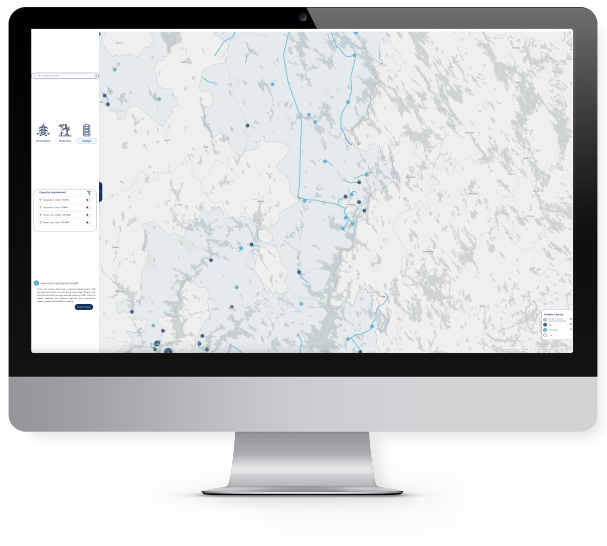
SPATINEO CAPACITY MAP
GRID TRANSPARENCY & SECURITY
What is Capacity Map?
The Spatineo Capacity Map is an innovative tool designed specifically for Electricity Network Companies globally. Built on the reliable Esri ArcGIS Online platform, it allows you to:
- Visualise and assess grid capacity for consumption, production, and storage.
- Ensure compliance with Finnish Energy Authority regulations and align with similar requirements internationally.
- Enhance transparency by publishing grid development plans and sharing essential grid data securely.

Why Choose Spatineo Capacity Map?
Tailored to the needs of electricity network companies, the Capacity Map empowers you to:
- Access up-to-date information on substation and power line capacity.
- Integrate tools such as address search, property data, and wind power overlays to identify optimal energy project locations.
- Gain valuable insights into usage patterns to predict future grid needs.
Built for Security and Effiency
Security and data protection are at the core of the Capacity Map:
- Anomaly detection: Monitor and detect suspicious data retrievals with our advanced usage monitoring.
- Predictive insights: Track service usage to inform future grid development.
- Enhanced processes: Streamline connectivity inquiries and collaboration with stakeholders.
Proven results with Elenia—case study
Elenia, one of our key partners, has reported:
- Faster processes in grid capacity planning.
- Improved collaboration with project stakeholders.
- Enhanced customer satisfaction with increased transparency and usability.
-
Operational Reliability
Maintain uninterrupted access to vital geospatial services with 24/7 real-time monitoring
-
Enhanced Security Awareness
Detect and respond to anomalous activity to mitigate potential risks and protect sensitive data
-
Data-Driven Decision Making
Gain actionable insights into service usage, user behaviour, and data trends to inform strategic planning
-
Compliance and Quality Assurance
Ensure your services meet industry standards, improve interoperability, and support seamless integrations.
Key Features
-
24/7 Real-Time Service Monitoring
Proactively monitor the availability and performance of geospatial services to ensure continuous operation.
-
Service & Data Usage Analytics
Understand how geospatial services are accessed and consumed to optimise resource allocation and identify unusual activities.
-
Comprehensive Performance Analytics
Track and analyse user engagement, data consumption, and service usage trends.
-
Proactive Alerts
Immediate notifications for service disruptions or performance issues, enabling swift response.
-
Customisable Reports
Generate detailed reports for stakeholders to demonstrate service performance and usage.
Spatineo: Your Partner in Geospatial Solutions
Whether you're seeking a tool to optimise grid transparency or looking to enhance your current services with Spatineo Monitor, we’re here to help. Explore, how Spatineo can support your organisation’s journey toward secure, efficient, and future-ready operations.
Book an introduction
Contact Us!

Mikko Ehnqvist
Sales Manager
+358 40 731 8678
mikko.ehnqvist@spatineo.com
